Map CollectionGIS StatisticsAerial PhotographyGPS Global Positioning Systems
- News
- Services
- Links

GIS Data from the City of Fort Dodge's Geographic Information System
Maps available at this time are Public Access Maps listed below. These maps have been created as Adobe Acrobat, PDF extension files.
Please take advantage of these maps, or access the Webster County, Iowa Assessor's office through the provided link.
GIS - Public Access PDF Maps
Many of these files will be quite large, please be patient with this download.
Fort Dodge City Federal Classification Street Map
Fort Dodge City Snow Route Map
Fort Dodge Truck Route Map
Fort Dodge Ward & Precinct Map
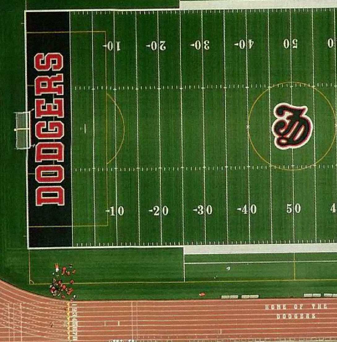
Fort Dodge 2011 Air Photo
Fort Dodge 2008 Air Photo
Fort Dodge 2007 Traffic Count Map
State of Iowa Map
Fort Dodge City Utilities
Note: All utility data location maps must be requested from the City of Fort Dodge, in person. These maps represent reference locations are not to be used for the purpose of engineering or site design and development.
City of Fort Dodge
Census Population:
Census Year: Population:
1980 29,423
1990 25,894
2000 25,136
2010 25,206
Area within City Limits: 16.31 Square Miles
within the City Limits: 8.2 Miles
 2011 Color Air Photography |
2011 Color Air Photography, digital format
2009 Color Air Photography, digital format
2008 Color Air Photography, digital format
2004 Color Air Photography, digital format
1997 B & W Air Photography, digital format
1990 B & W Air Photography, 1" = 200' scale, paper copy*
1974 B & W Air Photography, 1" = 200' scale, paper copy*
1967 B & W Air Photography, 1" = 200' scale, paper copy*
*- These images can be scanned and rectified with existing GIS data to create a custom hard copy product.
What is GPS?
The Global Positioning System, (GPS) is a collection of satellites owned by the U.S. Government that provides highly accurate, worldwide positioning and navigation information, 24 hours a day.
It is comprised of twenty-four NAVSTAR GPS satellites that orbit 12,000 miles above the earth, constantly transmitting the exact time and their position in space. GPS receivers on the earth's surface record the information received from the satellites. This information is used to determine the accurate location of the receiver.
GPS uses the triangulation of signals from the satellites to determine locations on earth. By knowing the location of the GPS satellites in space, receivers can determine their distance from a satellite by using the travel time of a radio signal from the satellite to the receiver. After calculating its relative position to at least 3 or 4 satellites, a GPS receiver can, using triangulation, calculate its position.
GPS satellites have four highly accurate atomic clocks on board. They also have a database (or almanac) of the current and expected positions for all of the satellites. When a GPS receiver locates one satellite, it can download all satellite location information and find the remaining needed satellites much more quickly.
Along with the entire collection of satellites, the Iowa Department of Transportation as implemented a network around the state with GPS base stations. These stations constantly gather information and are transmitted to survey accurate GPS units, via the internet or thru cellular communication, to increase location accuracy to centimeters. This system not only enhances the survey collection but also that of agriculture guidance and truck or fleet monitoring.
How is GPS used at Public Works?
Spatial accuracy in a Geographic Information System (GIS) is critical. To achieve this in a cost effective and efficient manner, Fort Dodge Public Works utilizes GPS for locating features like signs. With the use of computer technology, the spatial information about the features are linked to specific attributes, resulting in new spatial data layers for use in a GIS. For example, the spatial location of a stop sign is recorded; additional information about the type of sign, associated roadway, and condition of the sign can also be recorded.
In the Engineering Division of Public Works, GPS is used for the collection of survey data, topography, property information, and the accurate mapping of infrastructure, such as sewer manholes, intakes and fire hydrants.
All of this data can also be linked to other spatial data, and a system for all aspects of planning and monitoring is created.