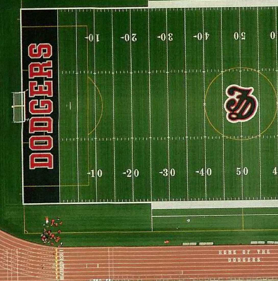
Aerial Photography
Aerial imagery of the city has been taken over the years.
 2011 Color Air Photography |
Requested images are available for printing. The following years are available, with a note describing the format available.
2011 Color Air Photography, digital format
2009 Color Air Photography, digital format
2008 Color Air Photography, digital format
2004 Color Air Photography, digital format
1997 B & W Air Photography, digital format
1990 B & W Air Photography, 1" = 200' scale, paper copy*
1974 B & W Air Photography, 1" = 200' scale, paper copy*
1967 B & W Air Photography, 1" = 200' scale, paper copy*
*- These images can be scanned and rectified with existing GIS data to create a custom hard copy product.


 Site Design and Content Management by